Hunters
Plan outings, record observations and keep a personal hunting journal with notes and media.

Apps & Community
Your hunt. Your hunting ground. Everything in view.
Estate maps, high-seat bookings, hunting journals, wildlife reports, community and classifieds – your free companion for hunting and fieldwork.
100% free
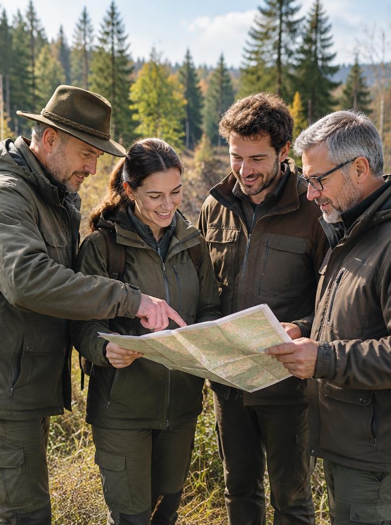
KAI-generated thematic image – not an app screen.
Who it's for
Hunters, estate leaseholders, hunting teams and people documenting wildlife observations
A free high seat, a sighting, a repair or crop damage: locations, dates and arrangements belong together. Waidlotse connects these details instead of scattering them across paper maps, spreadsheets and chats.
Core functionality is free. No mandatory subscriptions. Voluntary extras are optional. Made for:
Hunters, estate leaseholders, hunting teams and people documenting wildlife observations
Fieldwork, wildlife reports, community and classifieds – with transparent product status.
KAI-generated thematic imagery. Original app screens appear below.
OSM map with estate points
Map & facilities
Reserve a facility and time slot
Bookings & Today view
Sightings, harvests and found game
Journal & media
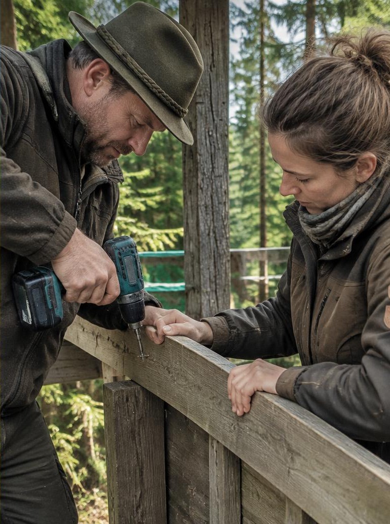
Tasks with titles and descriptions
Maintenance
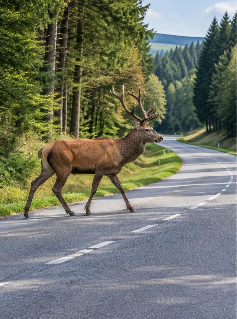
GPS location or manual coordinates
Collisions & crossings
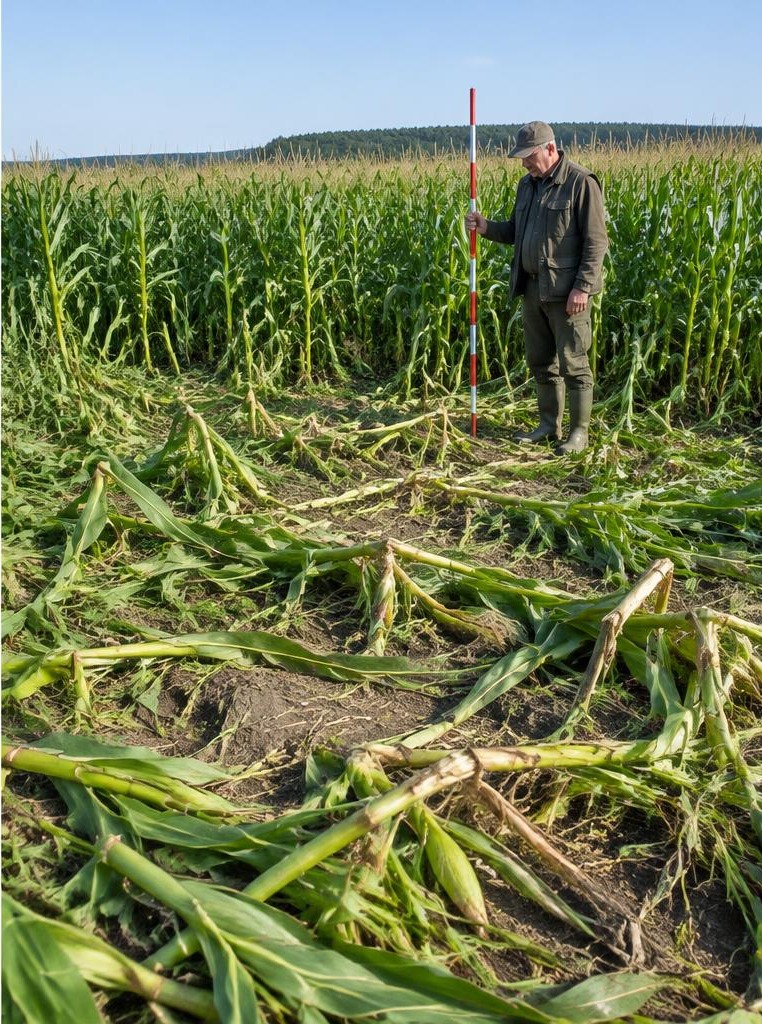
Draw areas or measure with GPS
Crop damage & valuation
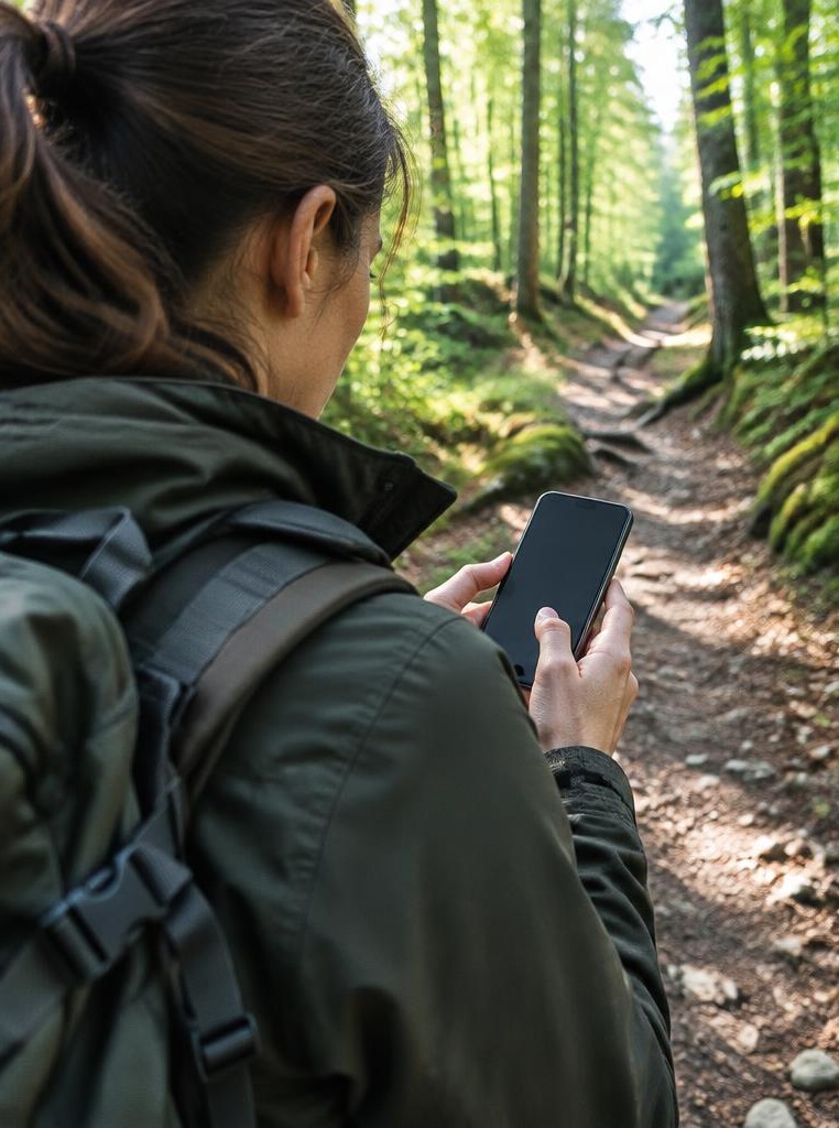
Local journal and signed-in wildlife drafts
Fieldwork & offline drafts
Signed-in text posts and comments
Community & classifieds
Plan outings, record observations and keep a personal hunting journal with notes and media.
Organise facilities, estate points and tasks together – from a small hunting ground to several responsibilities.
Document wildlife collisions, crossings and crop damage in a structured way. Police contact, official deadlines and legal surveys remain separate.
Core functionality stays free. No mandatory subscriptions or pro tiers. Voluntary extras are in the product concept but are not required for core features.
Map, facility, booking and journal entry connect to the same everyday fieldwork. No hunting through separate lists.
An app report does not automatically notify the police. GPS areas are not official surveys and local drafts have not yet been submitted.
Record facilities with names, categories and coordinates and find them on the estate map. Everyone refers to the same place.
Reserve a facility and time slot. Check in deliberately on site and end your attendance afterwards. A booking is not a check-in.
Record sightings, harvests and found game with species, count, time and notes. Attached private photographs and videos complement the journal.
Record fieldwork with descriptions and dates, review open tasks and mark completion.
Record collisions and crossings with location, time and observations. Taking over a case and processing it remain separate steps.
Draw damage areas or walk their boundaries with GPS, record crop and harvest year and export evidenced valuation versions as PDF or GeoJSON.
Real screens. Tap to enlarge.
Choose a facility, reserve a time slot and check in on site. End the outing afterwards and record observations in your journal.
Record crop, harvest year and discovery date, measure the area and document an evidenced valuation rate. Statutory reporting deadlines still apply.
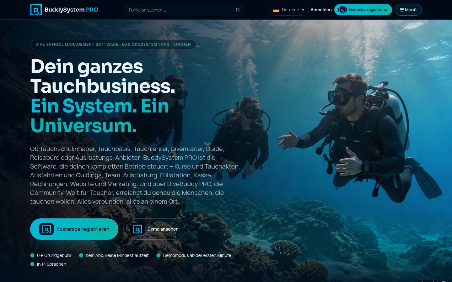 AppsFreeBuddySystem PROYour whole operation in one workflow.For Dive schools, dive centres and professional operators See what's insideApps & CommunityBuddySystem PROFreeWhat you getCustomers and courses togetherWho booked which course, who is still missing from the group, which documents are in? Customer data and course planning work hand in hand instead of being maintained twice.Bookings at a glanceEnquiries, confirmed dates and open spots are visible in one place – for the whole team, not just whoever answered the phone.Plan the teamInstructors, guides and helpers can be assigned to days and courses, so staffing gaps show up early.Equipment and fill stationRental gear and fills are part of daily business. They become part of the same workflow rather than a separate list.Learn more
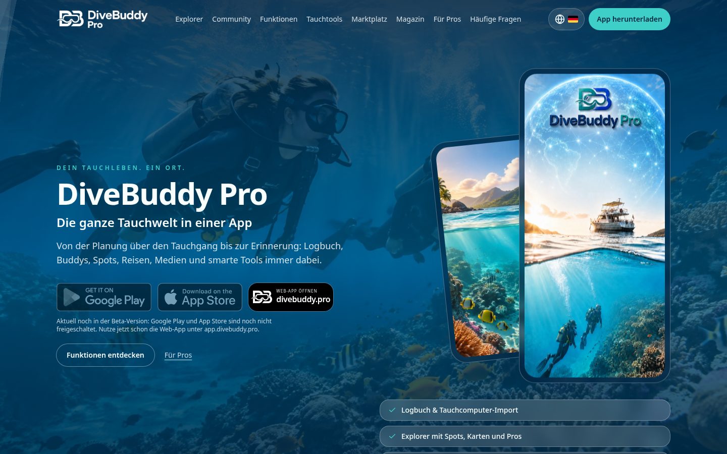 AppsFreeDiveBuddy PRODiscover and record the world of diving.For Divers – from the first course to the dive trip See what's insideApps & CommunityDiveBuddy PROFreeWhat you getLog your divesRecord what you experienced underwater so it lives on beyond memory – and stays traceable.Discover dive sitesFind new spots and see what others experienced there before you get in the water.Find operatorsDiscover dive schools and centres and get to know their offers.Organise trips and experiencesFrom the first idea to the dive holiday: planning and memories in one place.Learn more
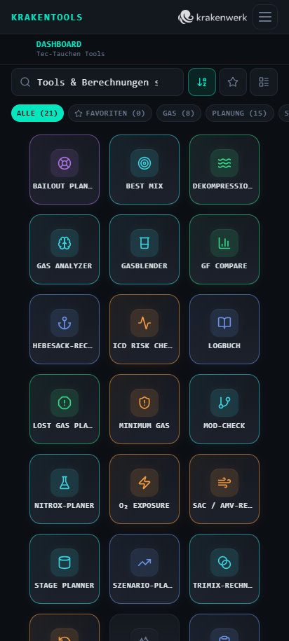 AppsKraken ToolsThe digital toolbox for divers.For Ambitious recreational and technical divers See what's insideApps & CommunityKraken ToolsWhat you getPlan decompressionDecompression plans based on Bühlmann ZH-L16C with gradient factors, lost-gas scenarios and side-by-side GF comparison.Understand and blend gasesAnalyse nitrox and trimix, back-calculate the right mix, check gas density and get the correct fill sequence at the panel.Safety before the diveDetermine your personal consumption, set minimum gas and turn pressure, track oxygen exposure over several days.Planning at the dive siteQuick planning for recreational divers, best- and worst-case scenarios compared and compact wetnotes for your slate.Learn more